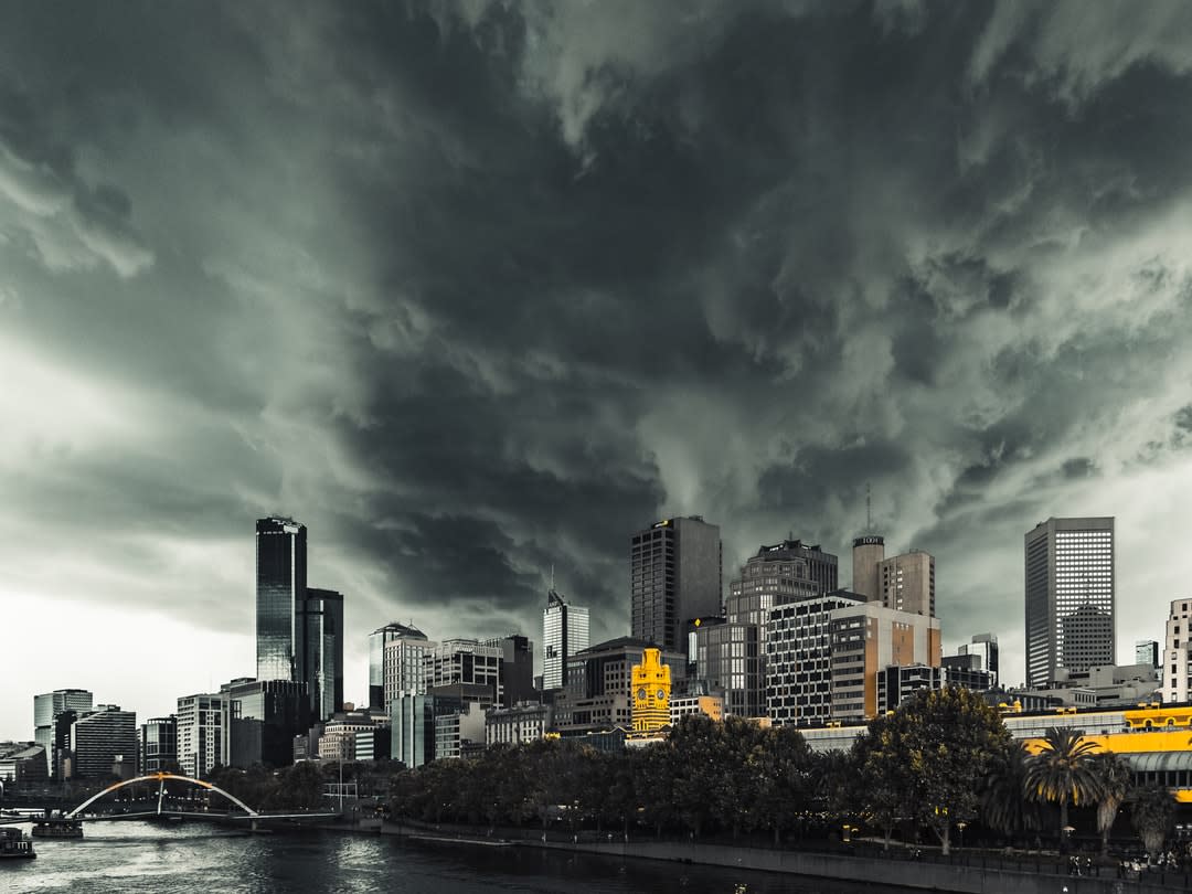
Melbourne is a city famous for its changeable weather. But the first month of 2020 has been something else.
After a fairly average start to the new year, southerly winds and thick cloud cover on the 5th made for the coldest January day since 1996, with the mercury maxing out at just 16.7°C. The temperature rose only slightly to 18°C on the 6th, with further cool days (below 20°C) on the 11th, 12th and 16th.
Bushfire smoke blanketed the city for much of the week beginning 13 January, with hazardous air quality impacting numerous outdoor activities, including the Australian Open. A cool change on 15 January brought some respite from the smoke, but also thunderstorms with heavy rain (44mm in just 30 minutes at Avalon), and flash flooding reported in the city’s northwest.

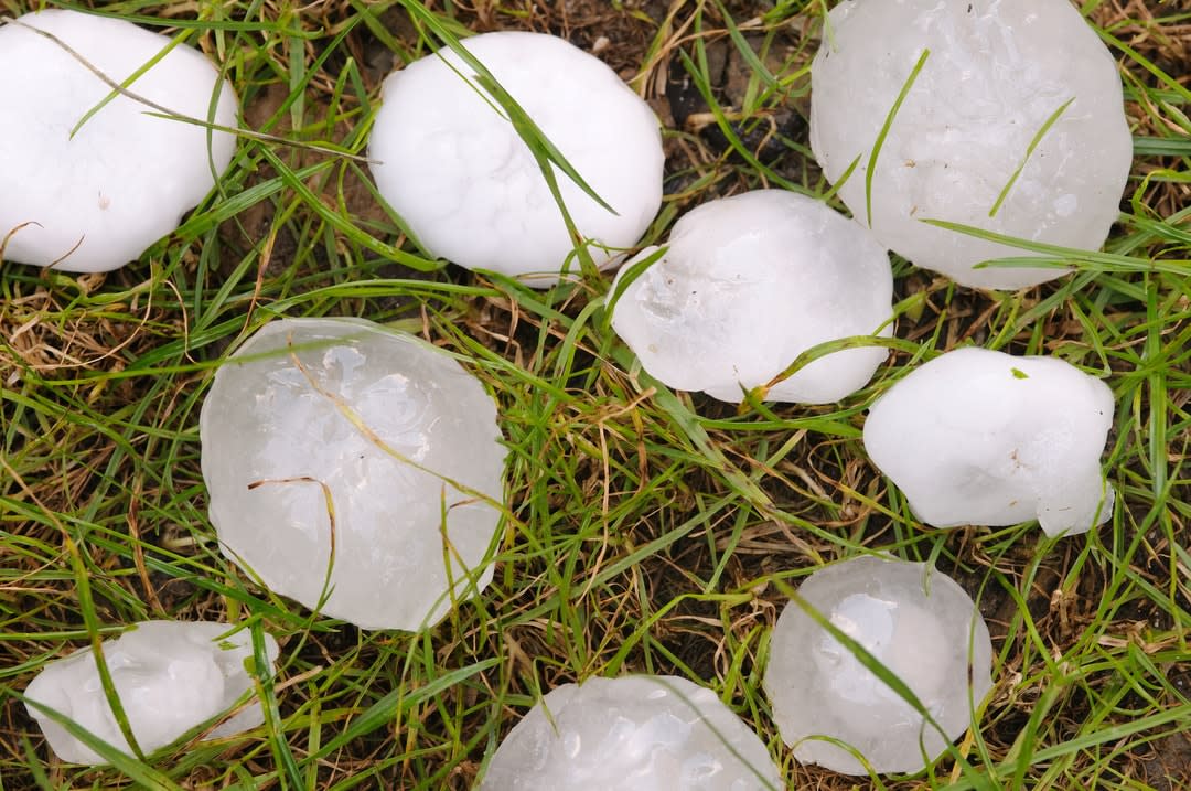
A few days later, on 19 January, a severe thunderstorm tracked through the southeast suburbs, bringing golf ball-sized hailstones that damaged roofs, smashed windscreens, and stripped foliage from trees. This was followed by the city’s wettest day since September 2011, with 44mm recorded at Olympic Park.
Further heavy rain fell overnight on the 22nd to 23rd, bringing the total January rainfall to 115mm, the highest since 1996. This event also left the city covered in red dirt, which had been swept up by dust storms in the northwest and carried south by strong winds ahead of an approaching cool change.
Things calmed down a bit for the next week, but the month ended with an unusual combination of extreme heat (a maximum temperature of 42.9°C) and high humidity on the 31st.
What's the story, weather?
So what’s with all the wild weather? Is this a harbinger of our changing climate, a response to some major atmospheric unrest, or just a series of unfortunate events?

Firstly, it should be emphasised that Melbourne’s weather is naturally highly variable at this time of year. This variability reflects the city’s position between the hot, arid interior of the continent and the cool waters of the Southern Ocean. At this time of year, changes in wind direction can be associated with dramatic changes in temperature and humidity. In particular, the passage of a cold front (cool change) is typically associated with a transition from hot, dry northerly or northwesterly winds to much cooler southwesterly winds.
On the other hand, if a low-pressure trough sits to the west of Melbourne, northeasterly winds can result. These carry moisture from the warm coastal waters of the Tasman and Coral seas, leading to high humidity and an increased risk of thunderstorms.
Such conditions existed during much of the middle of January. On this occasion, however, the northeasterly winds also carried smoke from bushfires burning in southern New South Wales and eastern Victoria.

A second important point is that many of the aforementioned events, while rare, aren't without precedent. Take the hailstorm on 19 January.
Analysis of storm reports and long-term observations from the Melbourne radar suggests that golf ball-sized hail falls within the city limits on average once every two to three years. Indeed, a very similar event occurred in the southeast suburbs on 19 December, 2017, although in this case the main damage was located farther east.
More severe events include the Labour Day storm of 2010 and the Christmas Day storm of 2011, which both produced cricket ball-sized hailstones.
Melbourne has also been affected by bushfire smoke in the past, most notably in December 2006, associated with the Great Divide Fire Complex. Dirty rain is also quite common in Melbourne during the summer, although the volume of dirt deposited in the recent event was unusual, reflecting the severity of the dust storms in northern Victoria that day.
Unprecedented bushfires
One event this summer that is without precedent is the ongoing bushfire emergency, which has seen almost 12 millions hectares of land burned, the destruction of more than 3000 homes, and the deaths of at least 33 people and more than a billion native animals. This is also the only event that shows a clear link to both large-scale climate variability and climate change.
It is extremely challenging to untangle the contribution of climate change to very localised high-impact weather, such as this January’s heavy rainfall and hailstorm events in Melbourne.
The key meteorological driver of the fires has been severe drought conditions in eastern Australia, which have resulted from three consecutive years of anomalously low rainfall. These conditions have been linked to anomalous sea surface temperatures in the Pacific and Indian oceans (associated, respectively, with the El Niño Southern Oscillation and Indian Ocean Dipole), as well as a rare southern hemisphere sudden stratospheric warming in September 2019.
However, background warming of the Earth’s climate, driven by increasing greenhouse gas emissions, has also been implicated in the recent drought and bushfires. While formal attribution studies have yet to be undertaken, there's broad consensus in the scientific community that climate change is contributing to a longer and more extreme fire season in Australia. This point is emphasised in a recently published letter, signed by more than 80 ARC Laureate Fellows, which calls for urgent action to reduce global carbon emissions.
A complex climate
It is extremely challenging to untangle the contribution of climate change to very localised high-impact weather, such as this January’s heavy rainfall and hailstorm events in Melbourne. This reflects both a lack of long-term observations of these events, and limitations in the model’s we use to simulate the climate system.
Research suggests that the atmosphere is becoming more conducive to extreme precipitation and severe thunderstorms, at least in some parts of the world. However, future projections for specific locations are subject to large uncertainties.
Ongoing work at Monash, and national and international partner institutions, as part of the ARC Centre of Excellence for Climate Extremes, aims at reducing these uncertainties through an improved understanding of the processes that lead to weather and climate extremes. This will ultimately improve our ability to manage and respond to these extremes both now and in the future.


