Published Oct 17 2024

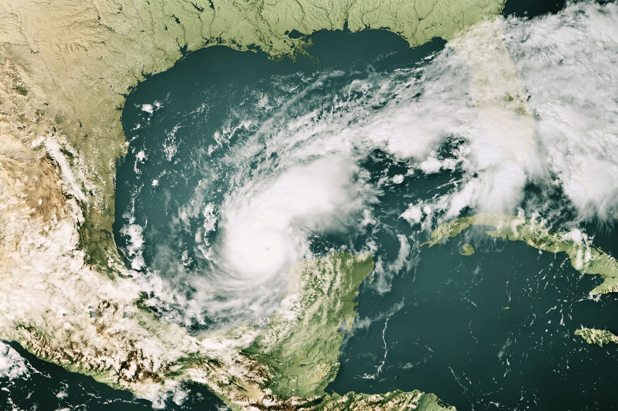
Hurricane Milton and climate change: A wake-up call ahead of COP29

As the world gears up for COP29 in Azerbaijan, the urgency to address climate change has never been more pressing. Recent extreme weather events, including devastating tropical cyclones, underscore the critical need for global cooperation and decisive action.

The increasing intensity of impacts associated with tropical cyclones has been a significant concern in recent years. Studies have shown that climate change is a key driver behind the catastrophic impacts of these storms.

For instance, the recent Hurricane Helene in the US demonstrated how warmer ocean temperatures and shifting weather patterns can lead to severe damage in both coastal and inland communities.

Such events aren’t isolated, and highlight a disturbing trend – storms are becoming more impactful closer to the coast.

Researchers have pointed to the need for better classifications of storms, some suggesting a potential “category six” for intense tropical cyclones.

In reality, traditional scales based on just the maximum wind speed doesn’t capture the severity of storms fuelled by climate change, which is altering their behaviour and increasing their destructive potential. There’s a need to highlight, warn of, and act on, the potential individual impacts from these storms.

The aftermath of Hurricane Helene near Biltmore Village in Asheville, North Carolina. Photo: iStock/Getty Images Plus

Hurricane Milton: A case study

Hurricane Milton, which impacted the US last week, serves as a stark example of how climate change is influencing storm dynamics.

As very warm ocean temperatures provided additional fuel, Milton rapidly intensified over the Gulf of Mexico to a category five hurricane. While it weakened to a (still major) category three hurricane prior to landfall, its rapidly expanding wind and rain field led to unprecedented rainfall and flooding in affected regions.

This storm not only disrupted coastal areas, but also inflicted heavy damage inland, revealing the far-reaching effects of such powerful hurricanes.

Scientists have noted that climate change is making tropical cyclones more difficult to forecast accurately near landfall, complicating disaster preparedness efforts. The increasing prevalence of rapid intensification – where a storm’s intensity increases significantly in a short period – poses a challenge for emergency management and response teams.

Hurricane Milton serves as a prime example of how major tropical cyclones can deliver a combination of threats, including destructive winds, widespread storm surges along coastal areas, and heavy rainfall.

Depending on local geography, storm surges can lead to significant flooding far inland, while intense rainfall can trigger flash floods in areas not typically prone to flooding, as well as landslides in mountainous regions.

Even a relatively weak storm such as 2013’s category one Tropical Cyclone Oswald in Australia still has the potential to produce far-reaching flooding.

It’s crucial to recognise the potential for these impacts, not just in the US, but worldwide.

To explore this, researchers at Monash University have been studying historical changes in tropical cyclone patterns and impacts, and how they might evolve under future climate conditions in regions such as Southeast Asia, Australia, and the South Pacific. This research aims to assess the risk of different coastlines being affected by tropical cyclones.

While climate change may influence the characteristics of future storms, Hurricane Milton is a reminder that severe tropical cyclones can strike anywhere along vulnerable coastlines. Preparing for such events, even if they seem unlikely, is far more cost-effective than dealing with the aftermath of inadequate preparation.

The role of climate change in intensifying storms

The conversation regarding the impact of climate change on storm damage potential is crucial. A recent study highlights that warmer seas are contributing to the intensity of hurricanes, exacerbating their effects. These storms now carry more moisture and are more capable of producing heavy rainfall, leading to catastrophic flooding.

As we witness storms like Hurricane Milton in the US, and cyclones in Australia becoming more impactful, the scientific community is stressing the need for adaptive measures. Improved forecasting and early warning systems along with community preparedness are essential to mitigate the risks posed by these increasingly damaging storms.

The Palm Beach Gardens Publix Super Market in Florida destroyed by Hurricane Milton. Photo: iStock Editorial/Getty Images Plus

Severe cyclones more likely

In Australia, the tropical cyclone season, which runs from November to April, is fast approaching. Last week, the Bureau of Meteorology released its long-range forecast for the upcoming season. The forecast predicts that about 11 tropical cyclones, on average, are expected to form in the region, with four likely to make landfall in Australia. However, the likelihood of severe cyclones is higher than usual.

But what does an “average” number of tropical cyclones really mean in the context of our rapidly changing climate? And why is the risk of intense cyclones increasing?

The BOM’s prediction aligns with scientific research, which suggests climate change is likely to result in fewer, but more intense, tropical cyclones. The cyclones that do form could have a greater chance of reaching category four or five status, with wind gusts exceeding 225kmh.

These cyclones are now expected to bring stronger winds, heavier rainfall, a greater risk of flooding, and significant coastal damage.

If we experience more than the recent average of eight or nine cyclones – something that could happen if La Niña conditions materialise – the risk of impacts increases.


Read more: What is happening with Australia’s tropical cyclone season?


But there’s some good news. The BOM has just released a statement that we’re more likely to see neutral conditions this next cyclone season, and in general, climate change may have reduced La Niña’s influence on boosting cyclone activity in the Australian region.

Another concern is the unusually warm ocean temperatures, which play a key role in fuelling tropical cyclones. With many ocean heat records recently broken, we’re in “uncharted waters” when it comes to sea temperatures.

This adds more uncertainty to predictions of tropical cyclone activity, as historical ocean temperature patterns may no longer hold true in the current climate.

The path forward: Action at COP29

The upcoming COP29 presents a vital opportunity for nations to come together and forge a path forward in combating climate change. As tropical cyclones continue to escalate in intensity, the discussions at this conference must prioritise measures that address the underlying causes of climate change.

Policymakers need to commit to reducing greenhouse gas emissions and investing in sustainable infrastructure that can withstand extreme weather. Adaptation strategies must also be a focal point, ensuring communities are equipped to deal with the changing impacts of weather in a changing climate.


Read more: Four ways we can change our behaviour to adapt to the climate crisis


Further, the international community must consider equitable solutions that support vulnerable populations most affected by these changes. Enhanced funding for climate adaptation and resilience-building initiatives can help safeguard lives and livelihoods in areas prone to extreme weather events.

As we approach COP29, the reality of climate change and its link to the intensifying impacts of tropical cyclones should galvanise global action. The evidence is clear – without a concerted effort to mitigate climate change, the world will continue to face catastrophic weather events that threaten both lives and ecosystems.

The time for decisive action is now – our future depends on it.

Monash is pioneering a path to a greener, smarter, more equitable and sustainable future, where emissions are lower, and the natural environment and humans thrive. We look forward to participating at COP29, where we aim to accelerate global action on sustainability, empowering diverse voices from across the Indo-Pacific, and influencing superior policy outcomes across a broad range of issues. Find out more at monash.edu/COP29.

About the Authors

  • Liz ritchie-tyo

    Professor, School of Earth, Atmosphere and Environment, Faculty of Science, Monash University

    Liz’s research interests are tropical cyclones, tropical meteorology, extreme weather and climate impacts on societies. She is a Fellow of the American Meteorological Society, an editor of Weather and Forecasting and former editor of the Monthly Weather Review. She is a member of the World Meteorological Organisation's (WMO) Working Group on Tropical Cyclones and the Australian Meteorological and Oceanographic Society's expert group on weather and weather prediction.

Other stories you might like