

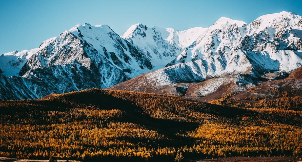
When it comes to skiing, world-leading snow scientist Kat Bormann says Japan, or possibly Utah in the US, has the best snow in the world. This is because fresh falls are full of air – new snow on Mount Fuji in Japan is only 10 to 20 per cent water.
Australian snow, by comparison, tends to be very dense. It can be as much as 55 per cent water – not ideal for recreational skiers, but much better news for water managers counting on snow melt to help fill parched dams, lakes and rivers.
Bormann’s understanding of snow density is one of the chief reasons the Australian environmental engineer was able to secure a coveted postdoctoral fellowship with NASA in the US at the Airborne Snow Observatory project.
Six years on, she’s now a research scientist with the observatory, part of the team providing snow and water information services to water managers in the western US, while also developing snow assessment techniques with global applications.
She says the NASA project was just kicking off when she first applied for the position in 2013, as she was finalising her doctoral thesis on snow in the Murray-Darling Basin.
After completing her environmental engineering degree at Monash University in 2003, Bormann worked with engineering firms in eastern Australia, primarily focusing on water-related issues: water quality, flooding, stormwater, wetlands and bridges.
Taking on snow as her PhD topic at the University of NSW in 2009 pays tribute to her love of the white wet stuff, nurtured during her childhood in Mount Beauty in northeast Victoria – one of Australia’s few snow communities.
"I also wanted to understand why Australian snow is so dense, and I started putting together snow density records from all over the world."
Identifying a gap in the available research, she set about creating the first dataset of the Australian snowpack in the Murray-Darling Basin using NASA satellite images.
“Our snow is less reflective than in the northern hemisphere, and it actually wasn’t being classified correctly in the NASA images,” she says. “So I had to get a more raw level of data and reprocess it with Australia in mind.”
This allowed her to build a database of daily images of the Australian snowpack from 2000 to 2012 and to evaluate changes during that period.
“I also wanted to understand why Australian snow is so dense, and I started putting together snow density records from all over the world. My advisors thought that was a little out of the way, but I was just really interested in it,” she says.
Her persistence resulted in an overview of snow density variability across several continents. And together, her two streams of enquiry created an ideal match for the NASA project, launching her snow science career at the Jet Propulsion Laboratory in Los Angeles, California.
Measuring water availability
California was in the grip of drought at the time and information to help predict water availability was valuable. Water resources in California have similar challenges to those in southeast Australia – the amount is limited, it’s over-allocated and the licensing system is complex. California is also a major agricultural production area for the US, so there’s a lot of interest and money invested in better understanding the resource.
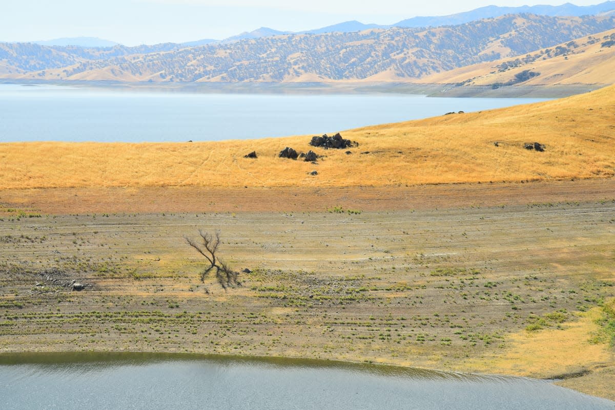
“The snowpack seeds 70 to 80 per cent of the water available in many agricultural basins, but the volume varies from year to year,” says Bormann. “Measuring it in a timely way becomes incredibly important and powerful in terms of making decisions.”
Globally, more than 1.5 billion people rely on ice melt for their water.
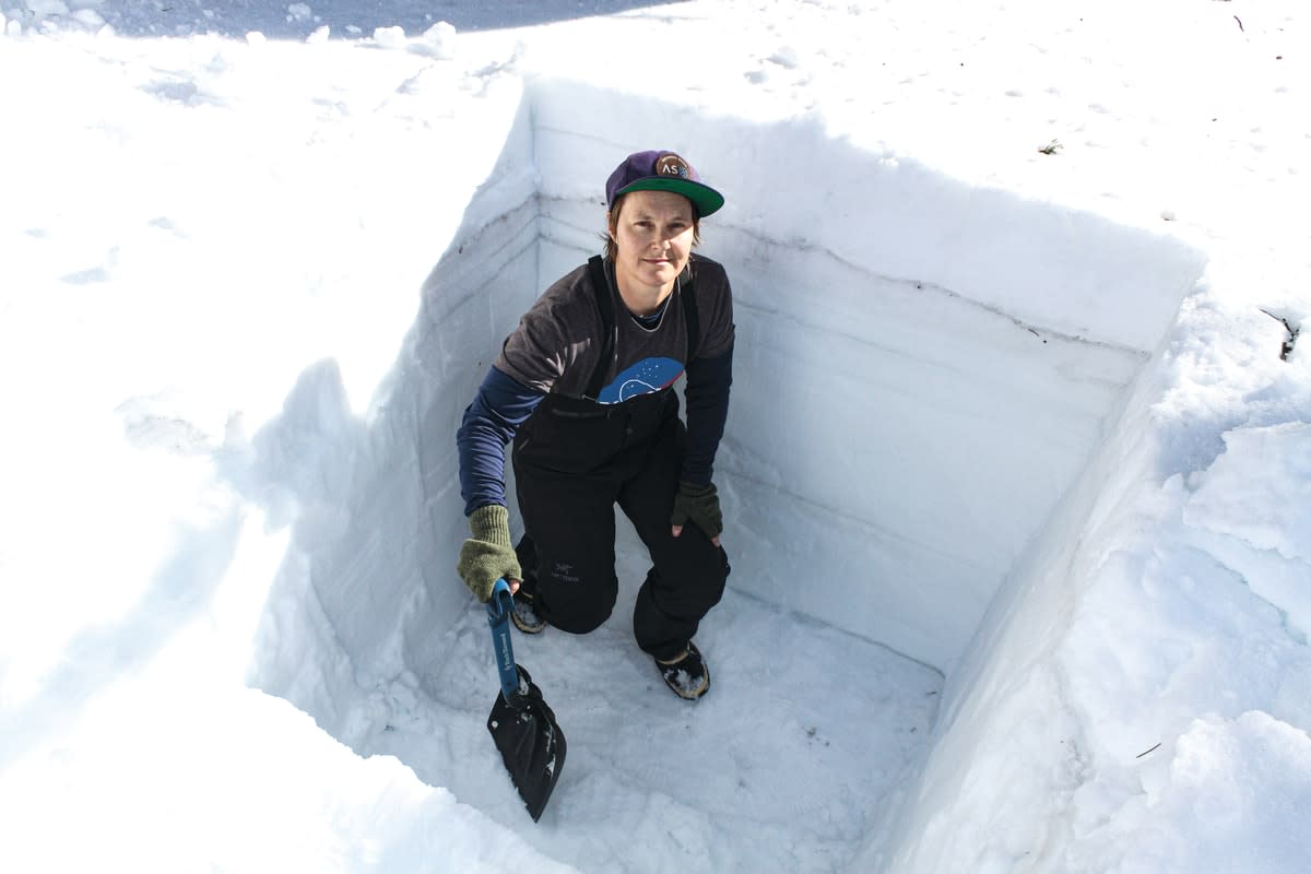
The Airborne Snow Observatory uses aircraft fitted with light detection and ranging (LiDAR) technology and hyperspectral cameras to create images of the snowpack at a one-metre-square resolution. These images are compared with baseline images taken during summer when there’s no snow, to generate estimates of snow depth and density.
The 40-kilometre watershed provides 40 million data points, compared to the 10 (or so) data points gleaned from manual readings. Flights are conducted fortnightly during the snow season and the data crunched within 24 hours to provide information as quickly as possible to water managers.
Bormann is involved in the ongoing development of the data processing, including identifying what data is actually needed to make reasonable water calculations. This could help expand assessments to other, more remote regions such as the Andes and the Himalayas. Globally, more than 1.5 billion people rely on ice melt for their water.
Current satellite technology isn’t yet up to the task, being too coarse and only two-dimensional in its imagery. But at NASA, Bormann says, thousands of people are all striving to achieve “the impossible”, and it’s just a matter of time before the technology and methodology advance far enough to take her snow science to the rest of the world.


