

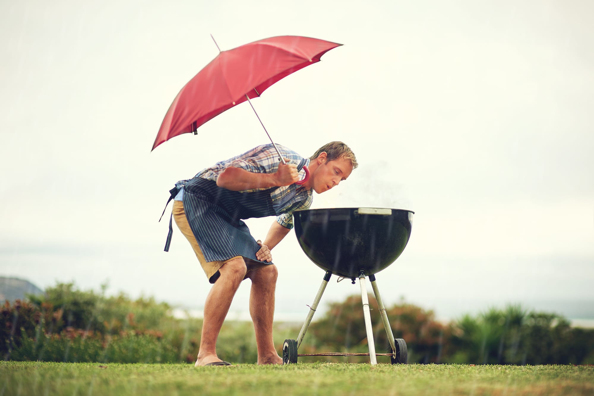
Want to know what this summer will be like in Melbourne? Plan ahead for a Christmas Day barbecue? You might just have to rely on the tried and true “stick your hand out the window” trick this year.
On Tuesday, November 21, the Australian Bureau of Meteorology (BoM) announced a La Niña alert. Tropical sea surface temperatures in the eastern Pacific are showing a cooling trend, and trade winds have “shown signs” of shifting into a La Niña-like state. In order for La Niña to become established, these atmospheric and oceanic indicators would need to continue to reinforce each other and develop a positive feedback loop.
What’s La Niña? It’s one extreme of the El Niño Southern Oscillation (ENSO), an irregular variation in sea surface temperatures and winds in the tropical eastern Pacific that has a cycle of roughly five years. ENSO extremes cause extreme weather such as floods and droughts in many regions of the world.
What would a La Niña mean for Australia?
“Although every La Niña event is different, from past data and statistics we know that La Niñas tend to be wetter for south-eastern Australia,” says Christian Jakob, Professor of Atmospheric Science and Deputy Director of the Australian Research Council's Centre of Excellence for Climate System Science.
“The thing to understand in all this is that it’s a game of probabilities. It’s not about whether or not something will happen, it’s about the chances of something happening."
So perhaps it’s best to hedge our bets with an indoor feast?
Not so fast. On the other side of Australia lies the Indian Ocean, and it isn’t behaving. Or, rather, it’s not as warm as usual. The circulation here is known as the Indian Ocean Dipole. Sometimes it reinforces the effects of the El Niño Southern Oscillation (ENSO), and sometimes it doesn’t. The connections between the two are still not well understood.
“Usually, the two are warm and cold together, but not always,” says Professor Jakob. “When the two coincide – warm in the western Indian Ocean and warm in the eastern Pacific, this has had the largest effect on rainfall in south-eastern Australia.”
This year, they’re out of sync.
“Sea surface temperature patterns in the western Pacific and eastern Indian Ocean are not typical of La Niña, and are counteracting its normally wet signal,” says the BoM website.
So maybe that outdoor barbecue will work out after all?
This kind of thinking drives climate scientists crazy. Seasonal forecasts, by definition, cannot tell us anything about the likelihood of actual weather on a day-to-day basis, says Professor Jakob. And Australia’s seasonal climate has many drivers, not just ENSO and the Indian Ocean Dipole.
The problem is that climate is devilishly hard to predict.
“There are two main issues with climate models,” says Professor Jakob. First, the models are imperfect. Simplifications have to be made in order to run them on computers – even the fastest supercomputers in the world – in order to return results in a reasonable amount of time. The second issue is that the data used to start the model – the initial conditions – are incomplete. “We can only know the state of the ocean and the atmosphere at any given moment in time so well.”
Even a tiny change in the initial conditions, or in the way they're modelled, can blow up into large variations later on. This is the classic butterfly effect, a term coined by chaos expert Edward Lorenz, who argued that a tornado’s path and intensity could be influenced by the flapping of a butterfly’s wings several weeks earlier. There are many climate models created by many different groups around the world. “None of the models are perfect – they all have flaws. The errors are slightly different in the different models. The scientists compare the models to try and get a handle on how big the uncertainty is.” If all the models are in agreement, scientists can be fairly confident about the forecast. If they’re not, well …
Australia produces one of the major global seasonal prediction models. Every few years, it’s improved and then tested using ‘hindcasts’. “You start the model with conditions from the past and run forecasts for initial conditions for the past 40 years. Then you compare the results with 40 years of actual observations, to see how well the hindcasts perform.” If the model manages to predict what actually happened pretty well, then they have more confidence in it going forward. Hindcasting is very expensive, though, because it involves a huge amount of supercomputer number-crunching time.
There’s a big difference between seasonal forecasts and daily forecasts, says Professor Jakob. In a daily forecast, you’re predicting what the actual weather will be next Wednesday. A seasonal forecast will include every Wednesday for the next six months, but it will only be a forecast of the probability of average conditions for longer time periods, such as a whole month or seasons.
“The thing to understand in all this is that it’s a game of probabilities. It’s not about whether or not something will happen, it’s about the chances of something happening.
“A probabilistic forecast means this: if there’s a 50 per cent chance of rain, then out of 10 days with the same forecast, if it rains five times and doesn’t rain five times, it was an accurate forecast.” On the other hand, if it rained all 10 times, the 50 per cent forecast was pretty awful.
"While daily weather forecasts use models that are not too different from seasonal climate forecasts, they're much more local in scope and attempt to predict actual rainfall amounts and temperature ranges. Even then, they can only predict the weather for the next 10 days or so at most. And sometimes even then it doesn’t pan out as expected. “The atmosphere loses its memory after about 10 days,” explains Professor Jakob.
Extreme weather events, like last weekend's "rainmageddon" in Victoria, can be tricky to forecast, because they involve "ticklish" parts of the atmosphere, in which an error can have large consequences. "Forecasters mitigate against that by using results from more than one model,” he says.
“An error in the ‘ticklish’ part of the atmosphere can have large consequences. Forecasters mitigate against that by using results from more than one model,” he explains.
So for that summer barbecue? At the moment, the Bureau of Meteorology is resolutely on the fence. “Australia's major climate drivers are neutral.”
Past La Nina events in Australia


