

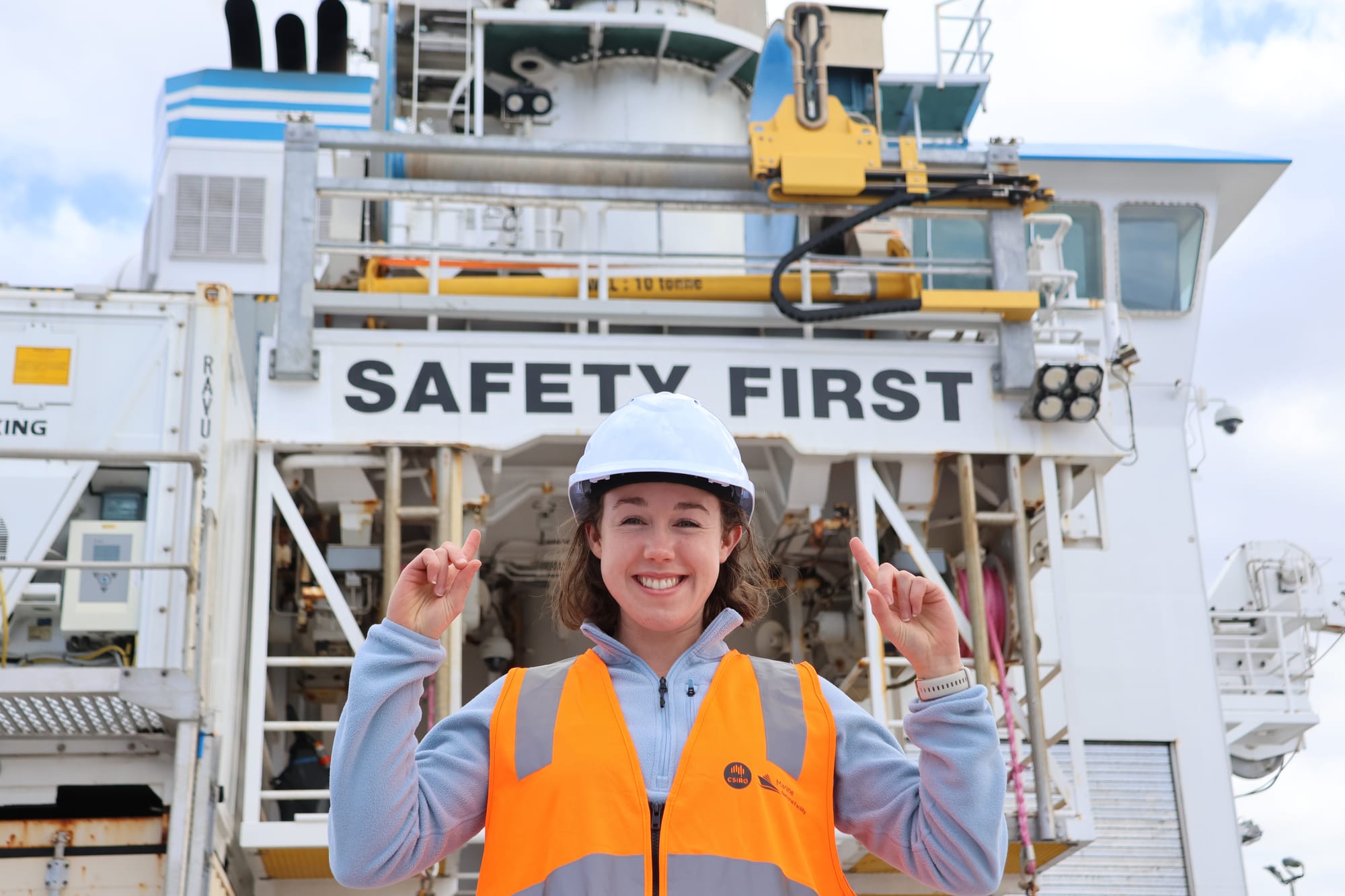
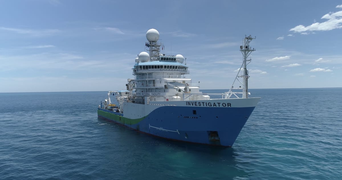
This week, CSIRO research vessel Investigator set sail bound for the “leaking” heart of the Antarctic Circumpolar Current (ACC).
Flowing from east to west around Antarctica, the ACC is the world’s strongest current, and acts as a shield to keep warm water away from the icy continent.
But scientists are concerned that eddies – water spinning off in the opposite direction to the current – are acting as a “gateway” for more heat to seep towards the ice.
If this happens, we face a situation where glaciers begin to melt into the ocean and contribute to sea level rise.
During the next five weeks, the science team, led by CSIRO and the Australian Antarctic Program Partnership, will traverse south from Hobart, looking to track down these “gateways” and gather data to help understand why these leaks are occurring.
Science onboard
The Investigator crew will run a 24/7 ship, with scientists working around the clock on 12-hour shifts.
The team will deploy a variety of high-tech observational equipment throughout the voyage, including gliders and a floating mooring system.
The autonomous deep-sea gliders sample the water columns down to a depth of about 1000 metres, and will journey across a vast section of the Southern Ocean over the next six months.
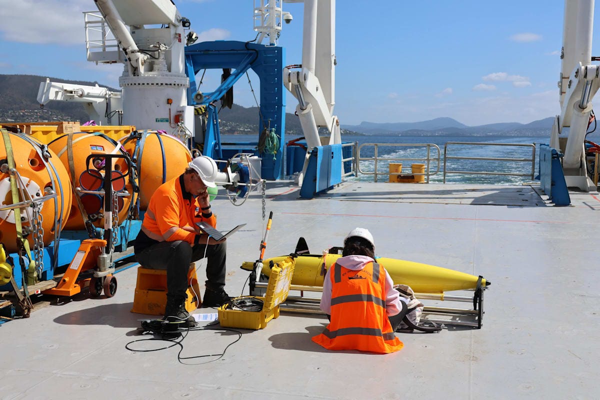
Voyage co-chief scientist Associate Professor Helen Phillips, from the Australian Antarctic Program Partnership at the University of Tasmania, says these “incredible gliders that are piloted from the ship or on shore [...] show us the structure of these fine-scale features inside the ocean”.
Meanwhile, the floating mooring system – known as a tall mooring – includes 35 instruments that measure salinity, temperature, oxygen and currents, and will be anchored in the middle of the research site for 18 months.
Other equipment such as argo floats, and conductivity, temperature and depth sensors (CTDs) will be hauled along behind the ship, gathering information about the temperature, turbidity, salinity, and velocity of the water.
Science from space
While the ship measures the properties of the ocean inside the current, the newly-launched Surface Water and Ocean Topography (SWOT) satellite will orbit overhead and measure the height of the ocean from space.
Co-designed by NASA and the French space agency Centre National d’Études Spatiales (CNES), the satellite provides a view of ocean dynamics in unprecedented high resolution.
Associate Professor Phillips likens it to a short-sighted person looking at a tree in the distance, then putting glasses on to reveal all the leaves.
“That’s the transition from our traditional satellite altimeters – we know these really large eddies are very important for moving heat around in the ocean, but with the SWOT satellite, we can see the very fine-scale features that are breaking away from these eddies that we think are actually doing most of the work,” she said.
And, this voyage will be the first time scientists validate the satellite imagery coming in.
The link to life on land
This expedition continues a tradition of highly collaborative, international science, with the data collected supporting research programs at CSIRO, the University of Tasmania, as well as institutions in Europe and the United States.
It also comes at a time of unprecedented change, particularly in the Antarctic region.
This year we witnessed sea ice reach its lowest winter extent on record, a trend scientists fear may continue as the planet warms with climate change.
Disappearing sea ice has far-reaching consequences for the planet, as it helps limit warming by reflecting the sun’s energy back out into space, and protects land-based ice from entering the ocean, which could push up sea levels by several metres.
With Australia signing on to the Paris Call for Glaciers and Poles earlier this month, there’s no better time to investigate how climate change is impacting the deep south.
This research is supported by a grant of sea time on Investigator from the CSIRO Marine National Facility, which is supported by the Australian Government’s National Collaborative Research Infrastructure Strategy (NCRIS).


